Location
Date
Date
Date
Date
Date
Date
Location
Date
Date
Date
Date
Date
Date

Newsletter

Dominican Republic
The Dominican Republic is located on the Island of Hispaniola, in the hurricane “belt” of the Atlantic and Caribbean oceans. Storms, depressions, high wind, and coastal storm surges occur every year. Flooding results from precipitation, deforestation and limited management of river and reservoir systems. Prolonged droughts have strained water resources for the rapidly growing population.
Climate change is intensifying weather events, altering rainfall patterns, and raising ocean temperatures. This will lead to an increase in disasters.
For example, higher ocean temperatures and associated sea-level rise leads to destruction of coral reefs and marine diversity, flooding in coastal lowlands, and salination of subterranean waters.
Hispaniola is also in a highly active seismic zone. Major fault systems capable of powerful earthquakes lie off the northeast coast, on the north and southwest parts of the island, and off the south and southeast coast. Landslides, especially in deforested areas, pose serious risk during the rainy season and can be triggered in large numbers under earthquake shaking. Nine large tsunamis have struck Dominican Republic since the 1700s and can occur from local or distant earthquakes, volcanic eruptions, or submarine landslides. Tsunamis may arrive on the coast within minutes of local offshore earthquakes, but regional and distant earth movements are also a threat.
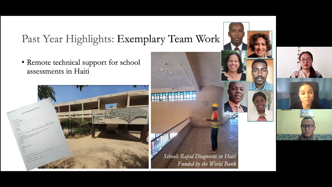
GeoHazards International in the Dominican Republic: We began working in the Dominican Republic in 2019 with an office in Santiago De Los Caballeros.
Videos


Projects
Blog


Date


